Why Bangkok floods — and why it's mostly not the rain
Bangkok sinks up to 3cm a year, sits on a river that falls 1.5m per 100km, and filled in its canals for roads. Around 70% of projected flood cost increases by 2050 come from subsidence, not sea level rise.

Everyone assumes Bangkok floods because of rain. Bangkok gets a lot of rain, the story goes, and rain plus a river plus a low-lying delta equals wet feet every October.
The rain is real. It’s also, in the long run, the smallest part of the problem.
Around 70% of the projected increase in Bangkok’s flooding costs by 2050 is attributable to land subsidence: the city sinking into the ground beneath it. Not sea level rise. Not rainfall. Subsidence. That is the finding of a World Bank, Asian Development Bank and JICA study of 2010, modelling a one-in-thirty-year flood against a 2008 baseline — and it is the figure this whole article rests on, so it is worth knowing where it comes from.
Which reframes the whole thing. Bangkok’s flood problem is not primarily something happening to the city. It is largely something the city did to itself, and is still doing.
Start with the geography, which is brutal
The Chao Phraya river basin has a gradient of about 1.5 metres per 100 kilometres.
Sit with that. Over a distance roughly from Bangkok to Ayutthaya and beyond, the land falls by less than the height of a person. This is not a river valley in any sense a European would recognise. It is a very slightly tilted plate with a river drawn on it.
The consequence is that water in this system does not drain away. It moves, reluctantly, at the pace of the tilt. When flooding arrives it doesn’t rush through and leave; it arrives, spreads, and sits, for weeks, because there is nowhere lower for it to be in any hurry to get to.
That single number explains more about Thai flooding than any amount of rainfall data. Bangkok’s problem was never how fast water arrives. It’s how slowly it leaves.
Then the sinking, which is the actual story
Bangkok is built on soft delta clay, and it spent decades pumping out the water underneath itself.
Groundwater extraction for a rapidly growing city caused subsidence that peaked at an astonishing 120 millimetres a year in 1981. Twelve centimetres. Annually. The city was descending faster than a toddler grows.
Regulation slowed it substantially, and recent measurements put the average at around 8.5mm a year, though parts of the city still sink 1 to 3 centimetres annually.
The cumulative effect is the part people miss. Decades of this means parts of Bangkok now sit roughly a metre below sea level.
Not “will be”. Are.
Meanwhile sea level rises at roughly 4mm a year, with one scenario putting it 32cm higher by 2050. So the land drops and the water rises simultaneously, and critically, the land is dropping faster than the sea is rising, often by a factor of two or more.
Hence that 70% figure. When people frame Bangkok as a climate change victim, they are describing the minority shareholder in its own disaster.
And then the canals, which is where it becomes familiar
Bangkok was once genuinely a water city. The khlong network wasn’t decoration — it was the transport system and the drainage system at once, and it worked because it gave water somewhere to go in a landscape that offers no natural gradient.
Through the 1960s to 1990s, hundreds of canals were filled in to make roads.
You may recognise the period. It’s the same era in which the city withdrew its eighty-year-old tram network in favour of buses and road-building. Bangkok spent three decades removing its rail network and its drainage network in service of the same idea, and is still paying for both.
The tram decision cost the city thirty-one years of traffic. The canal decision cost it the ability to drain.
What survived has been degraded in three further ways. Encroachment — informal construction over and into canals, particularly in the north, cutting off the routes water used to take toward the drainage stations. Concretisation — an increasingly sealed surface, so rain that once soaked away now runs off. And neglect — silt, rubbish and deferred maintenance reducing the capacity of what’s left.
So: a landscape with no gradient, a city sinking into it, and a drainage network that has been progressively filled in, built over and clogged.
The rain is almost incidental. It’s simply the thing that shows up and reveals the arrangement.
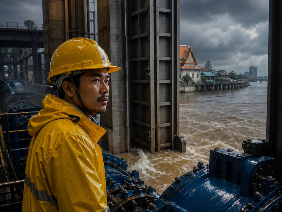
2011, when the arrangement was tested
The 2011 floods are the reference point for anyone who was here, and the numbers are worth stating plainly because they’ve faded.
Triggered by Tropical Storm Nok-ten at the end of July, the flooding ran from 25 July 2011 to 16 January 2012 — 175 days. It affected 65 of Thailand’s 77 provinces and killed 815 people.
Total damage and loss: ฿1.43 trillion, about USD 46.5 billion. The World Bank ranked it the fourth most costly disaster in history.
Not the fourth most costly flood. The fourth most costly disaster.
And the duration is the detail that tells you it was a drainage story rather than a rainfall story. A hundred and seventy-five days. The water didn’t fall for six months — it arrived, and then had nowhere to go, on a plate that falls a metre and a half every hundred kilometres.
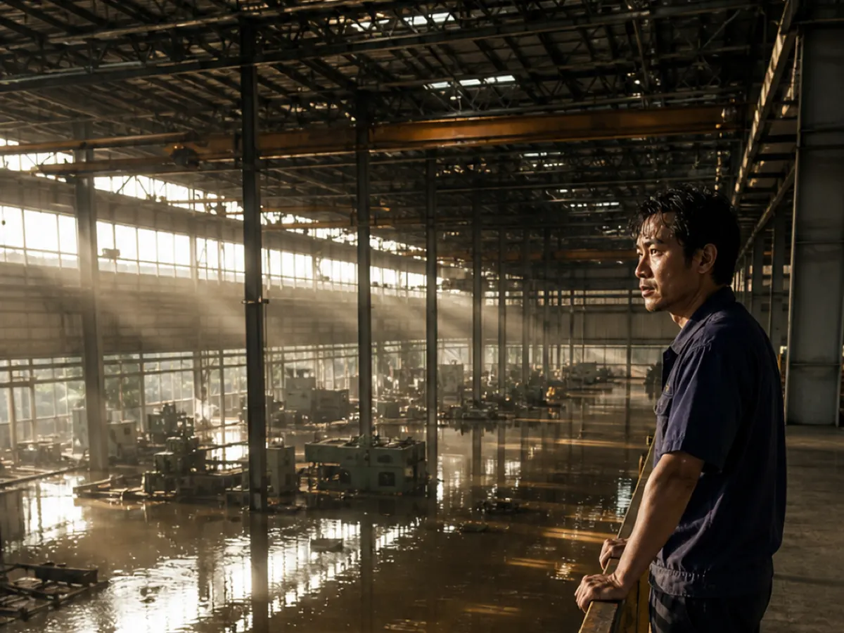
Industrial estates north of Bangkok went under for weeks, which is why 2011 shows up in global electronics and automotive supply chain analyses to this day. A large share of the world’s hard drive production was sitting in water.
Common misconceptions
“Bangkok floods because of climate change.” Climate change makes it worse. But subsidence accounts for around 70% of the projected increase in flood costs by 2050. The dominant cause is the city sinking, and that’s a groundwater story.
“It’s because of the rain.” Bangkok’s rainfall is unremarkable by regional standards. The distinguishing feature is that water can’t leave.
“They should build better drains.” They are, extensively. But drainage requires somewhere for water to drain to, and with a 1.5m/100km gradient and a city partly below sea level, pumping is doing work that gravity does elsewhere for free.
“Bangkok will be underwater by 2050.” Some projections put parts of the city below sea level by then — parts already are. “Underwater” implies abandonment, which is a much bigger claim than the research supports. Netherlands-style engineering exists precisely for this, and it’s expensive rather than impossible.
“This is a poor-planning problem unique to Thailand.” Jakarta, Ho Chi Minh City, Manila and New Orleans all have versions of it. Bangkok’s is unusually well-documented, not unusually bad.
What happens next
Subsidence has slowed dramatically since the peak, which is a genuine regulatory success and rarely credited. Groundwater controls worked.
But the sinking hasn’t stopped, the accumulated loss of elevation is permanent, and 1-3cm a year in some districts still compounds.
The realistic future is a heavily engineered city: more pumping, more retention capacity, more flood walls, and a permanent operating cost that a city with a normal gradient simply doesn’t carry. Bangkok will most likely stay dry the way the Netherlands stays dry — deliberately, expensively, and forever.
The uncomfortable question is distributional. Flood defence protects what it’s built around, and in 2011 the wealthier central districts were defended considerably more effectively than the outer and poorer ones. As the engineering intensifies, the question of whose neighbourhood the water is directed away from becomes progressively more political.
Final thoughts
The satisfying thing about Bangkok’s flooding, if you can be dispassionate about somewhere you live, is how legible it is. There’s no mystery. A river basin that barely tilts. A city that pumped out its own foundations. A drainage network filled in for roads during the same decades the trams were scrapped for buses.
Three decisions and a geography. Everything else is weather.
And the reason it’s worth understanding rather than just complaining about is that two of those three are things people did on purpose, for reasons that seemed sound at the time, and the consequences arrived decades later, which is roughly how all infrastructure works, everywhere, including wherever you’re from.
Bangkok’s are just unusually visible, once a year, around your ankles.
Common questions
- Why does Bangkok flood so much?
- Three compounding reasons: the Chao Phraya basin falls only about 1.5m per 100km so water drains extremely slowly; the city has sunk through decades of groundwater extraction, leaving parts below sea level; and hundreds of drainage canals were filled in for roads between the 1960s and 1990s.
- Is Bangkok sinking?
- Yes. Subsidence peaked at around 120mm a year in 1981 and now averages roughly 8.5mm, though parts of the city still sink 1–3cm annually.
- Is Bangkok below sea level?
- Parts of it, yes — roughly a metre below in some areas.
- How bad were the 2011 floods?
- They ran 175 days, affected 65 of 77 provinces, killed 815 people, and caused ฿1.43 trillion (USD 46.5 billion) in damage — the World Bank's fourth most costly disaster in history.
- Will Bangkok be underwater by 2050?
- Some projections put more of the city below sea level by then. That's not the same as uninhabitable — it means an increasingly engineered city with a permanent and rising defence cost.
- Is climate change the main cause?
- It's a contributor, but around 70% of the projected increase in flood costs by 2050 is attributed to land subsidence rather than sea level rise.