Nobody built the connections
More than 45% of Bangkok's road length is dead-end soi — 18,355 km of it. That is why one-way restrictions here run by the clock instead of permanently.
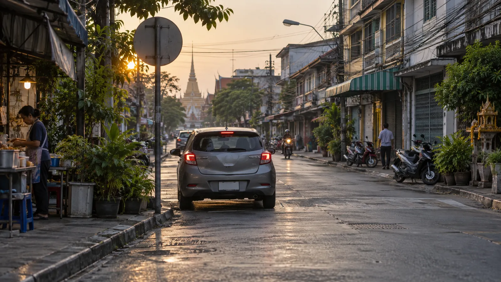
More than forty-five per cent of the road length in Bangkok goes nowhere.
That is not a figure of speech. UDDC Urban Insights, in a study published on 1 September 2020 over network data extracted in 2019, found 18,355 kilometres of dead-end soi — streets terminating at a node that connects to exactly one other segment. Forty-five per cent of everything.
Hold that number, because it explains the sign.
The question
You are driving down a soi and there is a sign: one way, but only between certain hours. Or a lane that runs one direction in the morning and the other in the afternoon. Or a restriction that exists on weekdays and evaporates at weekends.
The obvious answer is that traffic is directional — inward in the morning, outward at night — and a road split evenly between two directions wastes half its capacity in each peak. Reallocating that capacity to the direction that needs it is elementary traffic engineering and it is done everywhere in the world.
That answer is correct and it explains almost nothing. Cities everywhere have directional peaks. Most of them solve it with permanent one-way pairs, and Bangkok largely cannot.
And the reason the Bangkok version can be timed at all is a provision worth naming.
Section 139 of the Land Traffic Act B.E. 2522 (1979) lets a traffic officer, where an order would make traffic safe and convenient, issue announcements, orders or regulations doing any of twenty-one things. Number (4) is กำหนดให้รถเดินได้ทางเดียว — to prescribe one-way running. Others on the same list include prohibiting vehicles from proceeding, prohibiting stopping or parking, setting speed limits, designating up and down lanes, and designating major and minor roads.
Notice what kind of instrument that is. A one-way street in Bangkok is not a planning decision or a piece of legislation. It is an order, made by a police officer, over a stretch of road, which can be written with hours in it and rewritten next month. The same power produced, for example, the chief traffic officer’s Bangkok order on speed limits and horn use of 23 December 2024.
And read the section’s opening words, because they are the whole design. The power applies on any road or any specified section of road where the traffic officer is of the view that an order would be safe and convenient for traffic.
That is the entire test. No consultation, no published criteria, no appeal, no review. One officer’s opinion, road by road, section by section.
The clock is not in the statute. Section 139(4) is a flat power to prescribe one-way running; it says nothing about hours. The time limits on Bangkok’s signs are not a statutory instrument type Parliament designed — they are what an officer chose to write into an order using a power that did not require it.
And where Parliament did want to fence the discretion, it knew how. Limb (6) lets the officer set speed limits only within the rate prescribed by ministerial regulation. One-way running has no such ceiling. The legislature capped the speed power and left the direction power open, which is why the direction power is the one doing the improvising.
One more limb is worth naming. Number (7) is กำหนดช่องหรือแนวทางเดินรถขึ้นและล่อง — to prescribe lanes or routes for up and down running. That is the reversible lane, and the power to create one has been sitting in this Act since 1979.
Which is precisely why the clock is available and the network is not. Changing the direction of a road for four hours costs a signature. Connecting two sois costs land.
The interesting question is not why the capacity is reallocated. It is why the reallocation has to be temporary.
What a one-way street costs you
In a grid, making a street one-way is nearly free.
If you cannot go north on this street, you go north on the next one, one block over. The detour is a block. The grid has redundancy built into it: between any two points there are many routes, and removing one direction from one segment removes a fraction of a per cent of the options.
In a fishbone, making a street one-way can cost you kilometres.
Bangkok is a fishbone. UDDC’s district figures make the shape unmistakable. In Khlong Sam Wa and Rat Burana, 54% of road length is dead-end. Bangkok Yai and Phasi Charoen, 53%. Lat Krabang 52%. Chom Thong and Nong Chok 51%. Thung Khru, Bang Khae and Min Buri, 50%.
And in the old city, where the grid survives: Pom Prap Sattru Phai 18%. Samphanthawong 21%. Phra Nakhon 22%. Pathum Wan 26%. Bang Rak 29%.
Those two groups are different cities. In Pom Prap, a one-way street is an inconvenience. In Khlong Sam Wa there is no parallel soi, because the soi does not connect to anything — so the detour is not one block, it is back out to the arterial and round.
This is why the restriction has a time on it. A permanent one-way in a network with no alternative routes would not manage traffic; it would strand people. So the city takes the capacity gain during the hours when it is worth most, and gives the connectivity back the rest of the time.
The clock on the sign is a compromise forced by the shape of the network. Where you see one, you are looking at a place where the permanent solution was unavailable.
How the network got that shape
And here is the part that turns a traffic question into a structural one.
UDDC’s account of how this happened is worth following carefully, because nobody chose it.
As Bangkok industrialised and expanded outward, it grew into suburban land that had been held as large agricultural plots. The state cut the main roads first, to lead development. The state’s plans did want a connected network with many junctions and many route choices.
But land acquisition was difficult and budgets were limited, and so the plan was executed only partially.
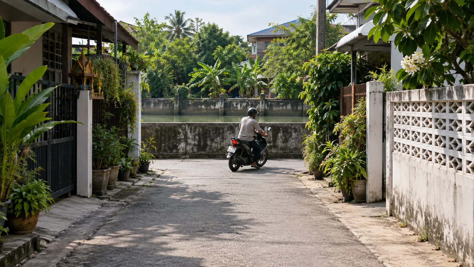
The secondary roads — the ones that would have carried access to the arterials — were therefore built by the landowners themselves. Each built a road into his own plot, to create access and to allow the plot to be subdivided into smaller ones for housing and other urban uses.
Now ask what a landowner building a road into his own land has any reason to do.
He has every reason to build access. He has no reason whatsoever to connect to his neighbour.
A through-route benefits the whole network and nobody in particular. It brings other people’s traffic past your houses, it requires agreement with an adjoining owner who gains nothing from it, and it produces no revenue. Access is a private good and the landowner supplies it. Connection is a public good and no one supplies it.
So the state built the arteries, private owners built the capillaries, and the capillaries were never joined up. Forty-five per cent of Bangkok’s road length is the accumulated result of thousands of rational individual decisions, none of which was about the network.
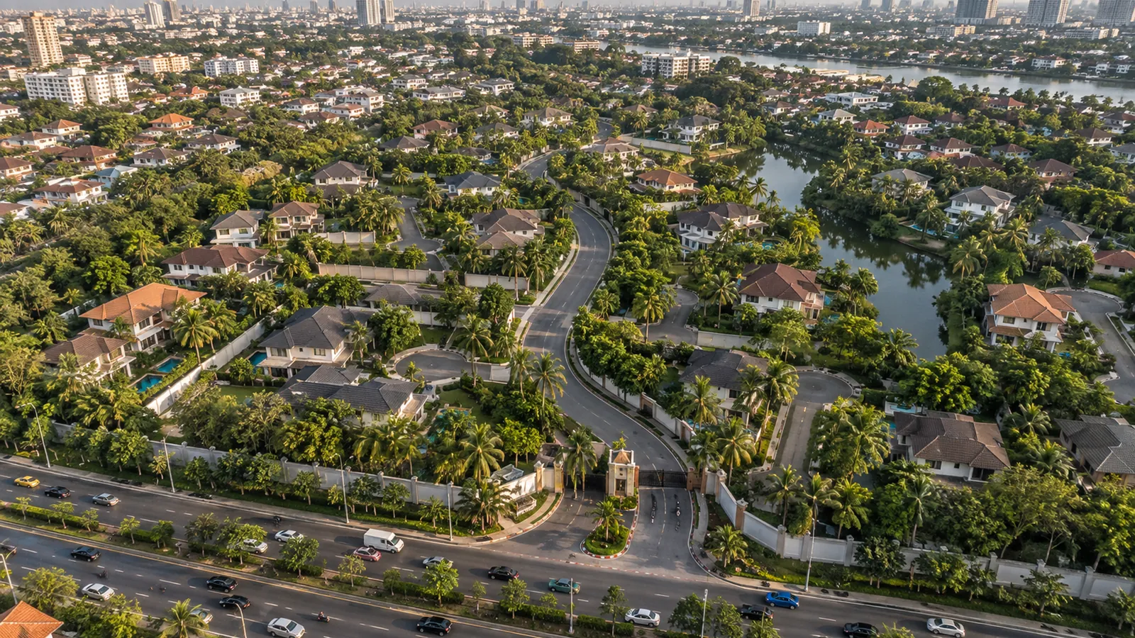
UDDC classifies what came out of this into three kinds, and the names are useful: grid dead-ends — simple T-shaped stubs inside the old inner-city grid; tributary dead-ends — branching tree structures through the middle ring, typical of housing estates and gated communities; and the linear or parallel form, distinctively Bangkok, following the old system of roads running alongside canals, dominant in the outer districts.
What it does to your morning
The consequence UDDC identifies is not congestion on the sois. It is congestion on the arterials.
Most people, they observe, have only three to five route choices from home to work. The further out you live, the fewer. And critically, everybody’s few choices are the same few choices.
On the Thonburi side you are using Phetkasem, Rama II or Borommaratchachonnani. At the far end of Sukhumvit, you are using Sukhumvit or Rama IV. Out towards Don Mueang, Phahonyothin or Vibhavadi-Rangsit.
That is why those roads are the way they are, and it is not because they are too narrow. No width solves a network problem. Every trip inside a superblock has to leave through one of a handful of gates, and the gates are the arterials.
Widening an arterial in a fishbone network adds capacity to a segment that is already carrying every trip in its catchment. Adding a connection between two sois adds a route.
The clock is the cheapest instrument there is
Step back and look at what the time-based restriction actually is.
The legal machinery is straightforward. The Land Traffic Act of B.E. 2522 (1979) defines “way” to include ตรอก and ซอย — alleys are explicitly within the Act’s reach — and empowers the traffic officer to designate one-way operation, including with specified hours.
But the reason it takes that form is economic. Consider what it costs to change a road’s configuration by time of day:
A dynamic system needs sensors, gantries, variable message signs, a control room, power, maintenance and staff.
A clock-based system needs a sign.
Time is the one variable the state and every driver can observe for free. Nobody needs to be told what time it is. The enforcement burden is delegated to a device every driver already carries, and the capital cost is the price of a metal plate.
Which is why it is used — and it is a defensible choice, not a failure. For a city that must manage thousands of sois across a network it never designed, a sign is the only instrument that scales.
What the clock cannot do
Two costs follow, and they are both real.
The first is that a clock-based rule is open-loop. It does not respond to traffic. It responds to the traffic that existed when the schedule was written. A dynamic system measures the road now; a printed schedule encodes an assumption made once. When a condominium opens, a station opens, or a school moves, the schedule does not know — and unlike a signal timing plan, which is at least periodically retimed, a sign on a pole has no mechanism that forces anyone to revisit it.
This is article 148’s finding arriving in a new place. The easy proxy gets adopted, and then nobody checks whether it still tracks the thing it was standing in for.
The second cost is that the rule is legible to residents and illegible to everybody else.
To use a time-limited restriction correctly you must know the schedule. People who live on the soi do. A delivery rider working a new area, a visitor, a taxi from another district, an ambulance — do not.
So the burden of the rule falls hardest on whoever is least familiar with it, which is the shape article 89 The wrong way round identified: the rule is free for the people who were already inside it and expensive for everyone else. A permanent restriction is learnable from the sign in front of you. A conditional one requires you to already know.
The honest summary
A time-limited one-way soi is the state, decades later, buying back a small quantity of the connectivity that was never built — using the only instrument available to it that costs nothing to install and nothing to run.
It is a sensible response to a problem nobody deliberately created. The state could not afford to acquire the land for a connected network. Private owners had no reason to supply connection, and supplied access instead. Forty-five per cent of the road length dead-ends as a result.
And the sign with the hours on it is what a city does when it cannot add a road and cannot afford a sensor.
Common misconceptions
“Bangkok’s roads are too narrow.” Width is not the binding constraint. The constraint is that too few routes exist, so every trip funnels onto the same handful of arterials.
“The dead-end sois are a planning failure by the BMA.” The pattern was laid down over decades. The state built the arterials; landowners built the sois for their own access; nobody had an incentive to connect them.
“Time-based one-ways are just badly thought out.” They are the cheapest instrument that works. The objection is that they are open-loop, not that they are arbitrary.
“Cul-de-sacs are simply bad.” They are quieter, slower and easier to secure, and people like living on them. The problem is the proportion, not the form.
“A reversible lane is the same as a one-way.” A reversible lane changes direction; a time-limited one-way suspends a direction. Both reallocate capacity to the dominant flow.
Common questions
- Why are some Bangkok sois one-way only at certain hours?
- Because there is usually no parallel route. A permanent one-way would impose a very long detour, so the capacity gain is taken only during the peak.
- How much of Bangkok is dead-end soi?
- More than 45% of total road length — about 18,355 km, per UDDC's 2020 analysis.
- Which districts are worst?
- Khlong Sam Wa and Rat Burana at 54%, then Bangkok Yai and Phasi Charoen at 53%.
- Which are most connected?
- Pom Prap Sattru Phai at 18%, Samphanthawong 21%, Phra Nakhon 22%.
- Why did it happen?
- The state built the main roads but could not complete the connecting network. Landowners built the secondary roads for access to their own plots, and had no reason to connect to neighbours.
- Who can impose these restrictions?
- The traffic officer, under the Land Traffic Act B.E. 2522 (1979), which defines "way" to include alleys and sois.
- Why not use sensors instead of a clock?
- Cost. A dynamic system needs gantries, sensors, signs and a control room. A schedule needs a sign.